Stepped out a bit late, but managed to meet JW more or less on time. I walked out from the Gayang Station neighborhood after a fitful night's sleep, following Naver Map's suggestion for a shorter route to Yeouido Station, Exit 4, where the plan was to meet JW at 9 a.m. Had a case of the dumperoos when I was about 650 meters away from JW, so I texted him that I'd be taking a pit stop. JW texted back with a "Take your time," to which I responded with a series of three emojis: thumbs-up, shitpile, and laughter. JW responded with a peach-head emoji (I think Kakao calls the character
"Apeach") doing a kissy-face. Guys never grow up. We'll be doing shit jokes and vaguely gay humor when we're in our 90s.
Today's walk was a bit over 30 km, so it wasn't as long as yesterday's hellish debut on the trail. Tomorrow's walk is only to Hanam City, right next door to Seoul, so that'll be even shorter, at 25 km. Thursday's walk, which will take place on Chuseok day, will be to Yangpyeong, so that'll be 35 km. As I did twice before, I'll stay two nights in a motel so I can give my battered feet a chance to rest. Hitting Yangpyeong will mean completing what I like to think of as the 120-kilometer axis from Incheon to Yangpyeong: four days' walking at roughly 30 km/day on average. It's almost providential, how perfectly placed my domicile is between Incheon (60 km to the west) and Yangpyeong (60 km to the east). I also happen to like both walks: the character of the path changes a lot, as does the scenery.
Here are some stats from the pedometer:
Just a quick reminder that the caloric output shown above is a gross figure that includes one's basal metabolic rate, which in my case is around 2500 calories.*
Western Seoul at around 6:30 a.m.:
The phone's camera makes the sky look way brighter than it was:
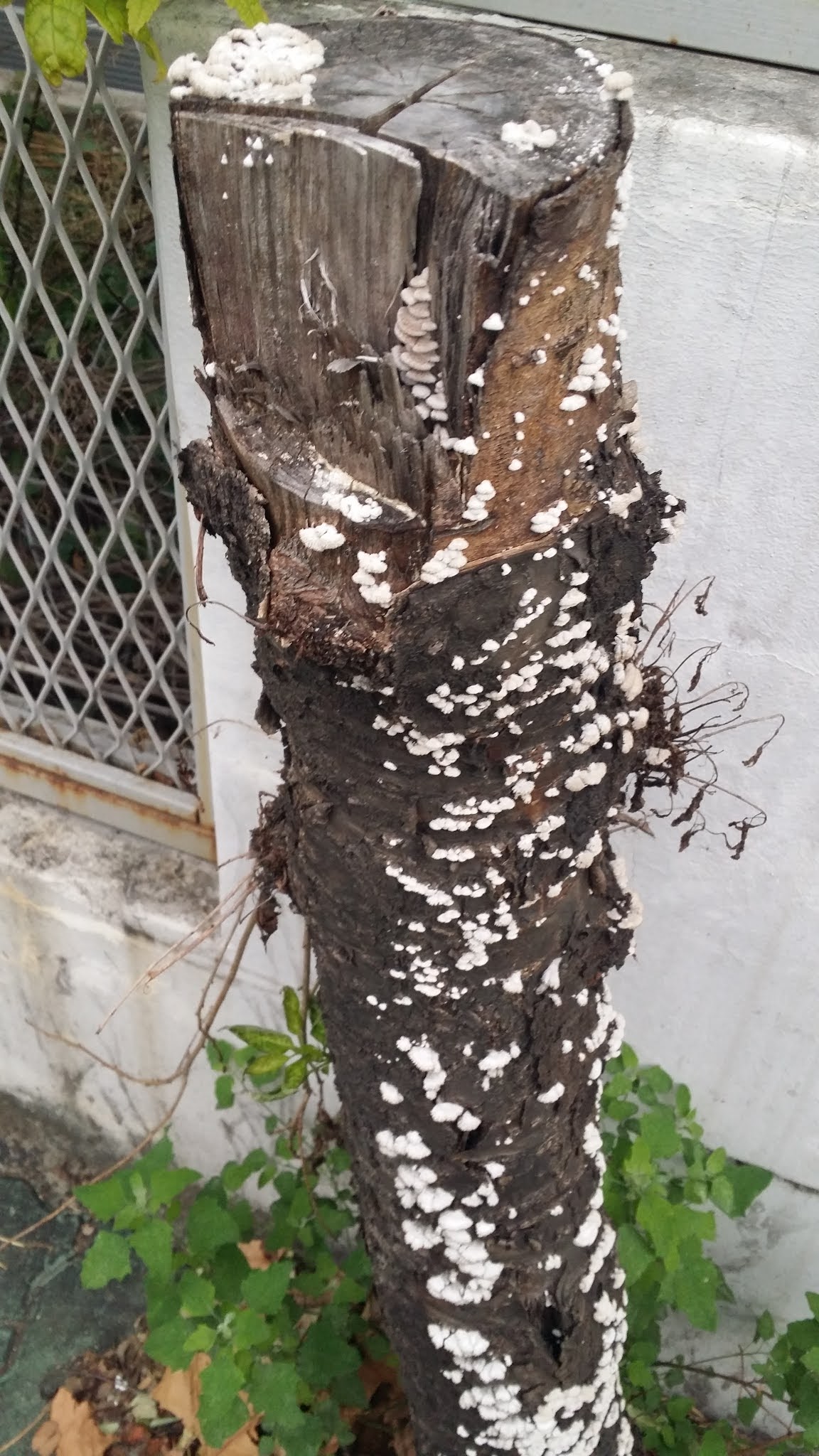
A stump with some interesting fungus on it:
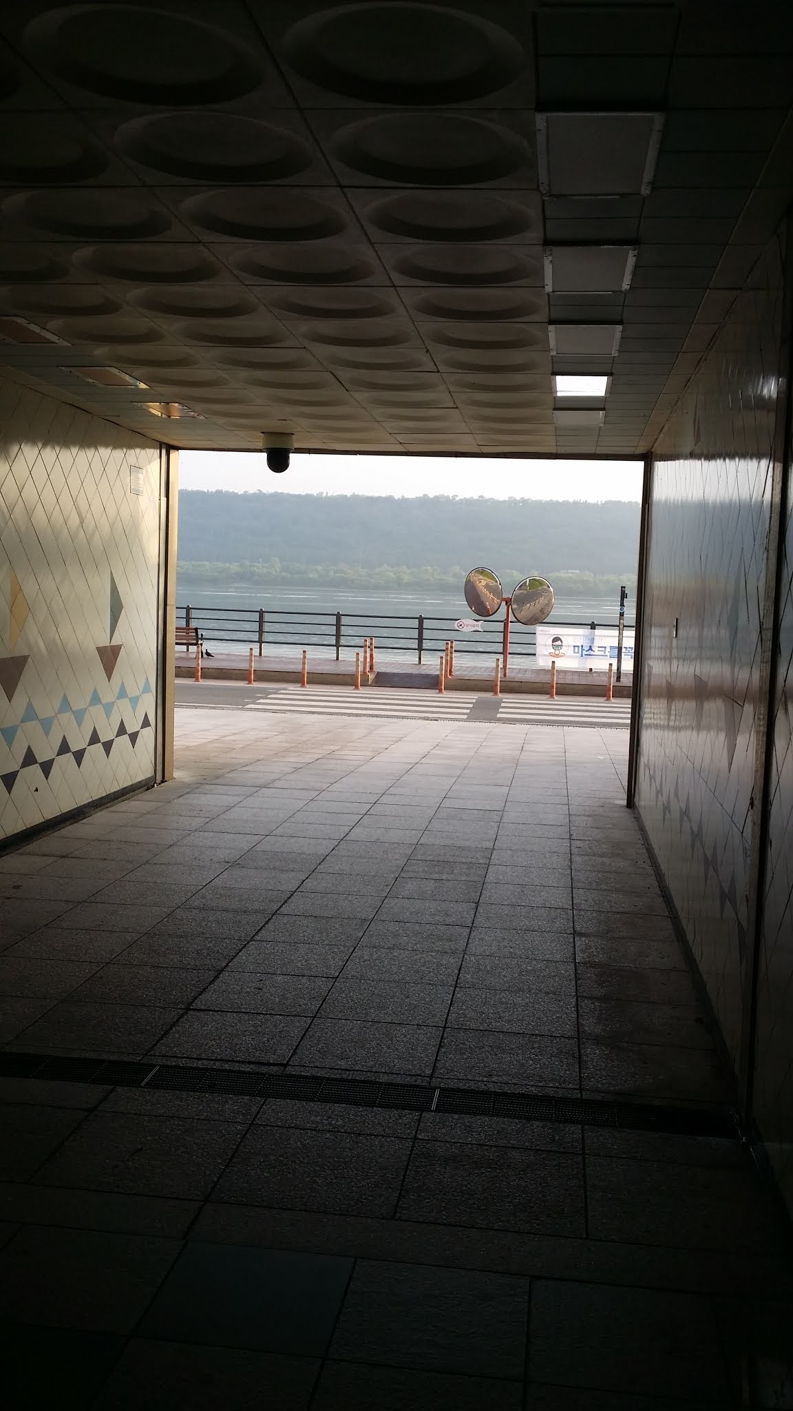
The walk to get back to the Han River takes you parallel to the riverside freeway until you reach a tunnel that cuts across the freeway by going beneath it. You pop out the other side of the tunnel, et voilà: you're back alongside the Han. Following any riverside trail guarantees that you can never get lost, for the river is the biggest, easiest-to-read landmark (watermark?) around.
This is my third time doing this route, and readers have seen so many photos of the same things that it's now hard for me to think of different things to photograph. Below is a shot of a tributary to the Han. You see it when you look right. The tributary, like other creeks that dump their water into the Han, has its own bike paths on either side of it. For walkers and bikers, Seoul has kilometers and kilometers of creekside paths to explore. It's impossible to get bored here, and anyone who says he's bored simply isn't trying hard enough.
Bridges in shadow thanks to the rising sun (as you'll recall, I'm facing east, so taking photos in an eastward direction isn't advisable with the sun staring you in the face).

Below, a somewhat overgrown shwimteo (쉼터, a pavilion-like rest spot). The French would call this un abri, i.e., a shelter. You'll recall that my fascination with these shelters has to do with their sheer variety: they can be quadrangles, hexagonal, or even octagonal; they can be made of traditional or super-modern materials; their flat floors can be plain or have benches ringing their interior edges; they can have electric lighting or nothing at all; thatched roofs or stone roofing tiles or Western-style shingles. Some shwimteo are even glassed in. The weirdest ones sport chairs or even couches, which boggles my mind since shwimteo already have floors that are designed to be sat upon. Adding chairs and couches seems strangely redundant. My favorite shwimteo have gnarly tree boles as their pillars and either thatched roofs or Korean-style roofing tiles. They look like the sort of place where you'd find Yoda. My aesthetic is old-school that way.

I'm terrible with flower names, but here are some pretty pink ones:
The same flowers, this time with their white neighbors. See? Racial harmony is possible, so stop all the damn rioting.
I'm wending my way through parts of Yeouido, the island that sits tucked in a crook of the Han River. Many bike paths crisscross in this section, and the unwary traveler (by which I mean
yours truly) can be easily confused and led astray by all the crisscrossing. Thank Cthulhu for Naver Map, which is a great navigational aid.
In the pic below, I've popped up from the bike trails and am now in downtown Yeouido. The weird structure in the pic below is... what, exactly? Modern art? A modern-art-style office of some sort? I have no clue. I do know that Koreans—if Seoul is any indication—are obsessed with abstract sculpture, a fact I've remarked on in other writings. I'm guessing this is a sculpture. I see no signs that this might be somebody's office.
By this point, I've had my poop and have met up with JW at Yeouido Station. We've walked a kilometer out of downtown and back to the river, and we've struck east along the sprawling Han River Park. JW and I both have a penchant for photographing flowers; I suspect that JW is the better photographer. Below is a spray of color in some sort of manicured arrangement:
The bushes in the following photo were hilarious—better than any deliberately sculpted topiary. I imagined that two chicken-beasts were lustily chasing after some sort of lizard-thing:
Despite the tragic Seongsu Bridge collapse in 1994, I'm always impressed by the sheer feats of engineering that are the bridges spanning the Han River. A look through their load-bearing support columns often feels like you're staring at the interior of a cathedral:
Part of the Day 2 path (we've left Yeouido now) always leads under several overpasses (or maybe it's the same overpass). On oppressively sunny days, the shade beneath the overpass(es) comes as a true relief. Urban planners and civil engineers have made those spaces functional, providing something like stadium seating and even performance spaces for singers and instrumentalists. In the pic below, you can see a gaggle of female instrumentalists doing their thing. I cheekily snapped a pic as I walked by:
I had to take the following pic because much of the Han River path is under serious construction: much is being redone, re-landscaped, and re-manicured. Plastic police-style tape with cautions written on it can be seen everywhere, blocking off certain areas. Below, you see how some patches of ground are being stripped bare in preparation for whatever massive effort is coming next. I wonder what prompted the desire to remake everything. Was that necessary?
Below is a pic that evokes a
shwimteo, but which might be better described by the Italian (via Latin) designation
pergola.
Funky walls?
Another overgrown shwimteo:
While I generally enjoy how the bike path changes character, I'm not a fan of gravel paths, given gravel's annoying tendency to end up inside my shoe. I hate having to stop, remove my shoe, turn it upside-down, then beat it on something (usually my leg) to liberate the gravel. I'm also not a fan of how gravel offers no purchase for my trekking pole.
This portion of the path was lined with all sorts of flowers:
I'm beginning to think of this graffiti'ed face as "The Watcher." He's been spray-painted everywhere, it seems, on both the north and south sides of the Han River. I'm sure many people are wondering who the naughty artist must be.
Another cathedralesque moment:
We're nearly done with the walk. At this point, we're passing under part of the Dongho Bridge, which connects the Apgujeong district on the south bank with Oksu Station on the north bank.
The Watcher is everywhere:
The sign below (which I'm sure I've photographed before) says the Hanam City border is 17.5 km away, the Han River/Tan Creek confluence is 3.7 km away, and Yeongdong Bridge is 2.3 km away. (I refuse to write "Yeongdong" as "Youngdong" for phallus-related reasons. That's right up there with the joke about going to the Chinese resto and ordering cum oh sum young gai. I'm 51, now, so I'm oversensitive about these things, no longer being a young gai myself.)
I hate to say it, but The Watcher might be becoming tedious:
Getting closer to the confluence (합류부/hamnyubu in Korean):
The following pic shows a sign that will be my guide and companion all the way down to Busan. Bikers and hikers who follow the Four Rivers trail will recognize this sign. This particular one says, in small print at the top: "Four Great Rivers End-to-end Path." The second line of text says: "In the Direction of the South Han River Bike Path." Markings for the trail vary in quality; it's possible to veer off the main path without knowing it if you're not careful, especially as you get close to Incheon. You have to look very carefully at both signs and painted indications marked on the surface of the bike path itself. I've found Naver Map to be invaluable for getting me out of several embarrassing pickles after I had managed to blunder off the path.
Oh, noes! The Watcher—defaced! Sacrilege!
At this point, JW had been walking so much faster than I had that he was nearly a kilometer ahead of me. He veered away from the Han and onto the Tan Creek, at which point he stopped and waited for my slow, encumbered, fat ass to catch up. We parted company soon after that: I had to follow the bike path to my neighborhood, and JW had to go in a different direction because he lives in rich, ritzy Samseong-dong, not far from the COEX center. The pic below shows my approach to JW, who had texted that he was maybe 500 meters ahead of me.
This final photo is almost my final approach to my neighborhood. At this point, I'm maybe 2 km away from my apartment building. The overpass is part of the Suseo Interchange; when it's raining, the roadway above provides partial protection, like a massive, concrete-and-metal umbrella.
This is the surreal phase of the walk: I'm in my own apartment, finishing up this blog entry. I recall, last year, being tempted to call it quits because the feeling of being home—the feeling of having arrived—had been so strong. This time around... not so much. I'm ready to repack my gear and move on, assuming my right foot's ache doesn't worsen. The pain isn't at a point where I can't function; in fact, I'd say I'm in less pain than I'd been at this same time last year. So we'll see how things go, but I do sense there's a potential for injury if I'm not careful. So I'll just have to be careful.
Writing this much commentary alongside these photos is possible only because I'm on my own computer. I don't think I can do this quite so well while I'm on the road, so apologies in advance if the blogging starts to seem a bit curt, and if the photos turn into an un-captioned photo essay.
*The old rule of thumb was to multiply your weight in pounds by 12 to get your approximate BMR; recent studies have suggested that that's far too generous; as a result, the new multiplier is about 9. So thanks to science, my BMR went from about 3400 calories to about 2500 calories. When I entered my personal stats in My Fitness Pal, my BMR was estimated to be about 2550 calories, which is consistent with the new multiplier. In other words, by just sitting and breathing, I burn around 2500 calories a day. Were I to eat exactly 2500 calories' worth of food, I would neither gain nor lose weight. So if the pedometer is showing a burn of 4899 calories, you should subtract 2500, and you get a "net" burn of 2399 for today—just from exercise. The My Fitness Pal app calculates all of this very differently: when you enter your exercise for the day, it simply adds a certain figure on top of your basal metabolic rate. Today, for example, MFP told me that, on top of my BMR of 2550 calories, I had done an extra 3400 calories' worth of exercise, which is 1000 calories more than the pedometer suggested. This is why I trust the pedometer more: it measures more conservatively. And yet... could MFP be on to something? MFP lists today's calorie deficit (after eating) at 2367 calories. Yesterday's deficit was 3752 (I had walked longer and eaten less). That's a two-day deficit of 6119 calories. The usual wisdom is that a deficit of about 3500 calories equals the loss of a pound of fat. 6119 calories is about 1.7 pounds, or remarkably close to a kilo, and having just weighed myself (since I'm home, after all, and have access to a bathroom scale), I can say I've already lost my first kilo. So again I ask: is MFP on to something? Hmmm.